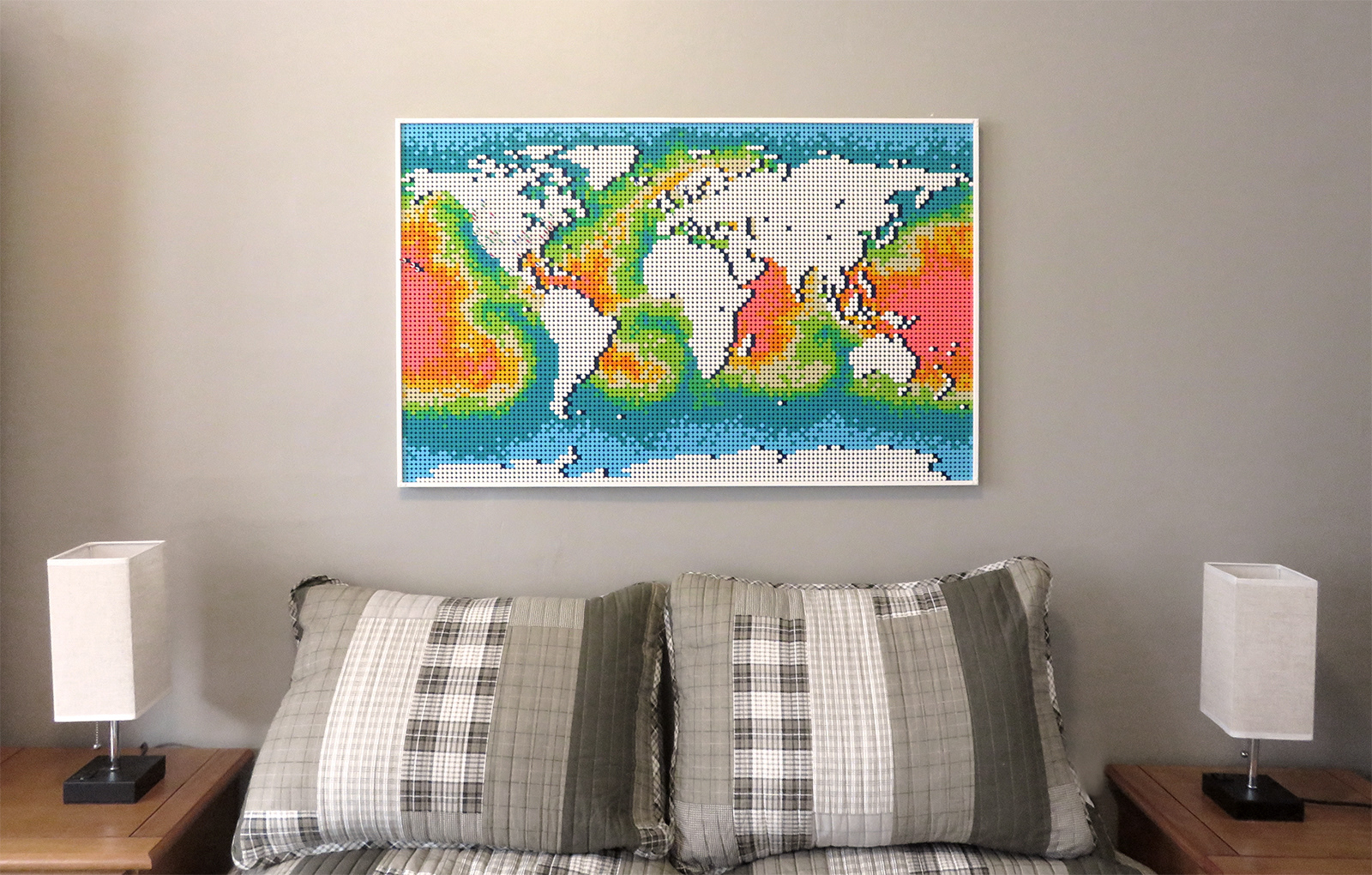

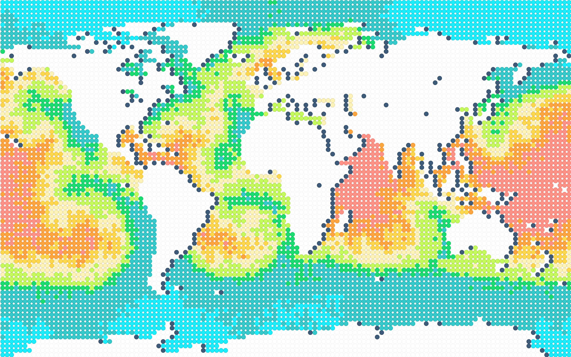
Parametric study of the Lego World Map, scripting ocean patterns inspired by coastal regions, temperature gradients, shipping lanes, and surface currents.
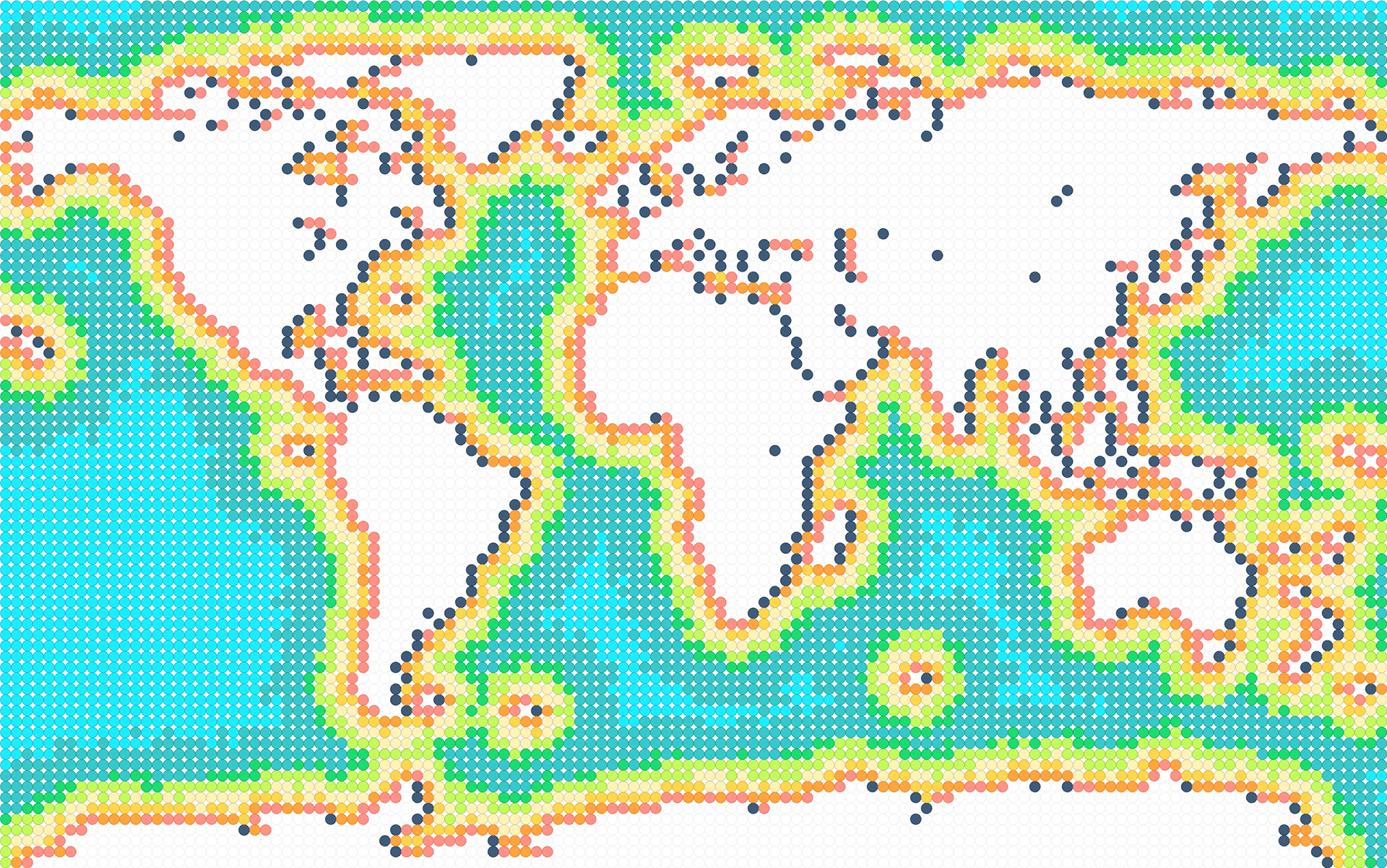
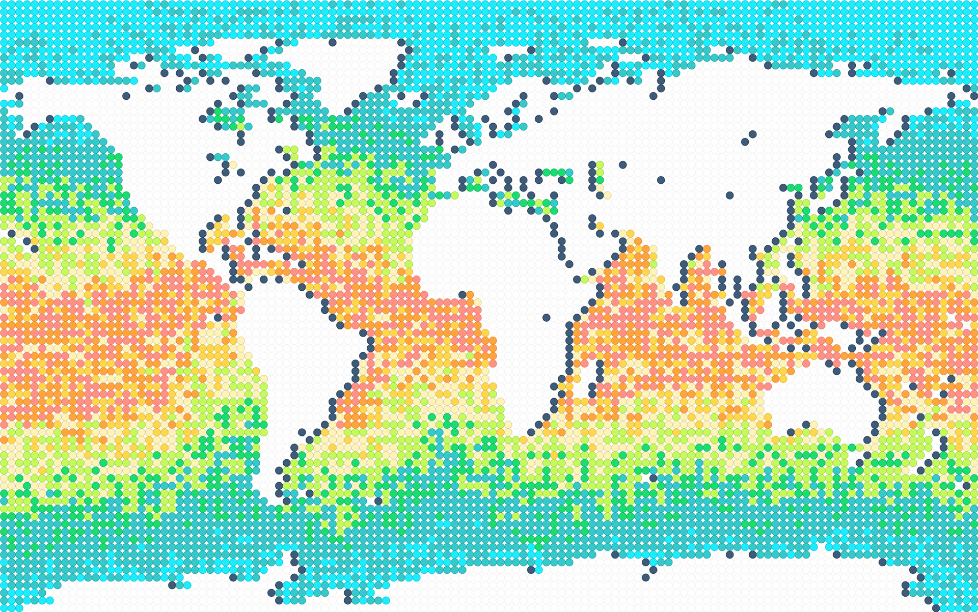
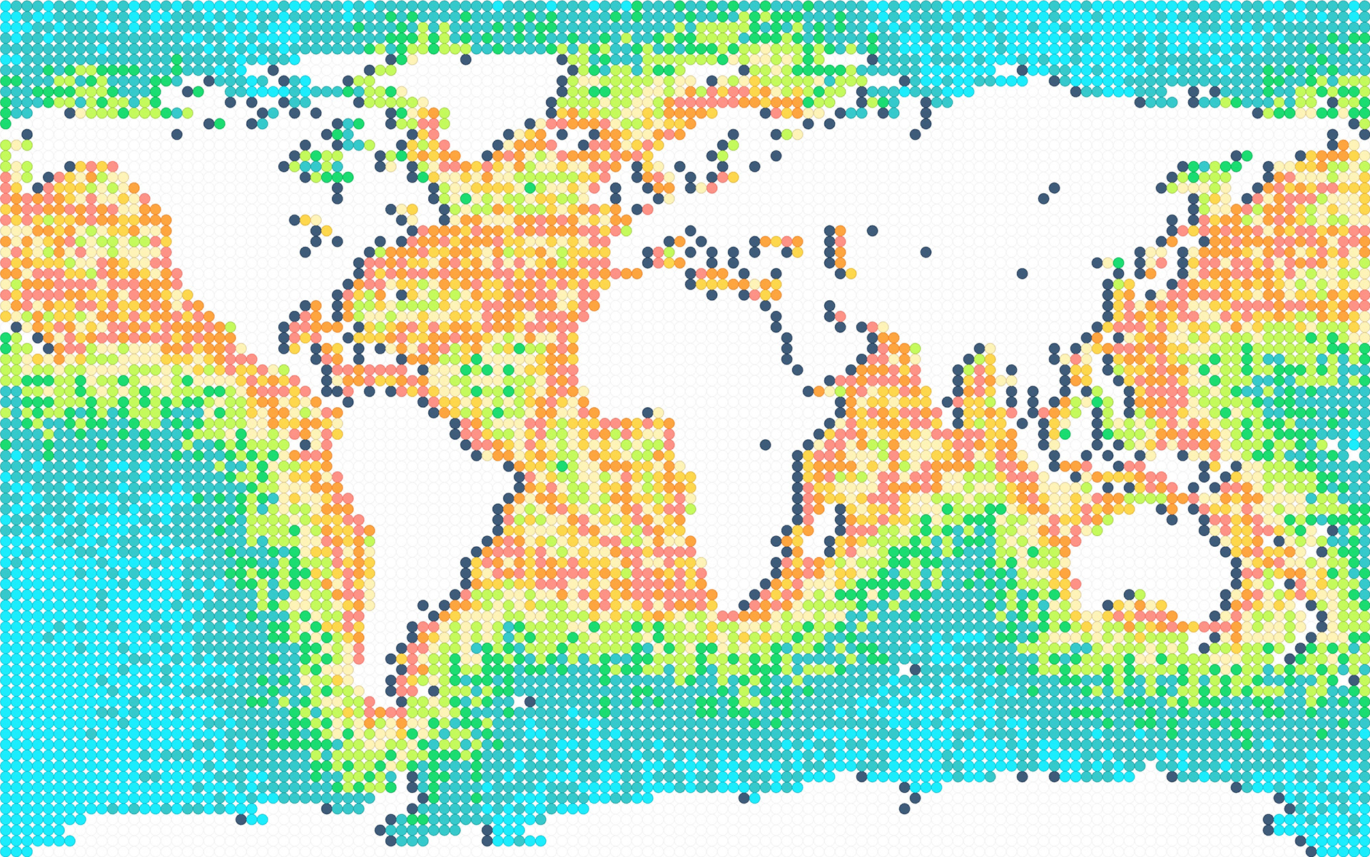
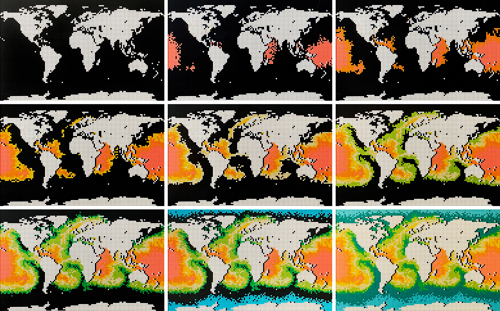
Below, an exploration of the solution space between temperature gradient and shipping lane inspired maps.

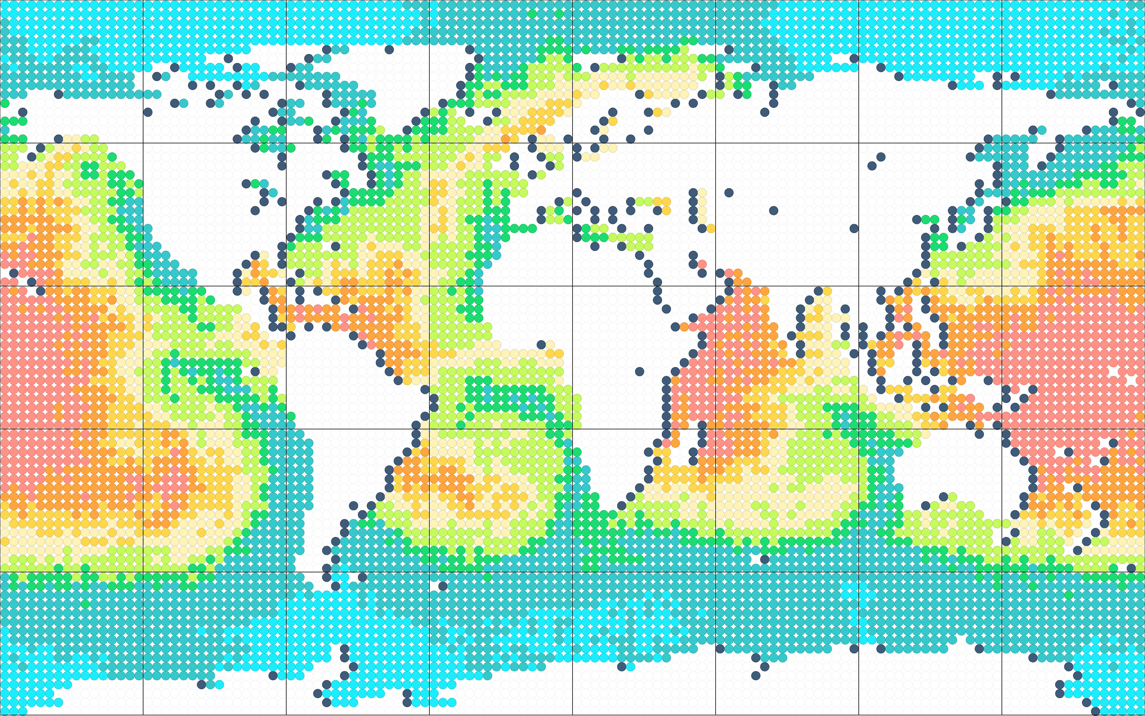
Ultimately, the ocean current scheme was selected and divided into quadrants for construction clarity.
Colors were added progressing from hot ocean currents to cold currents.
The final land masses were marked to note travel history.